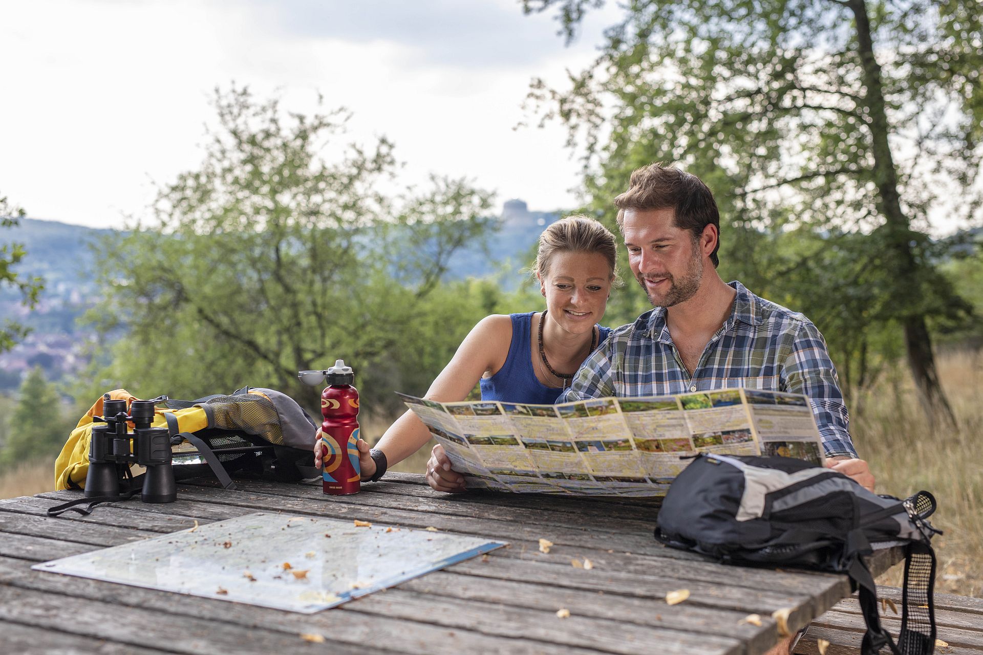
Tourenplaner
Wanderwege und Radtouren in der Urlaubsregion um Kelheim
Mit unserem Tourenplaner finden Sie einfach und schnell Ihre nächste Wanderung, Radtour oder Bootswanderung.
Wie wäre es mit einer Wanderung zu einmaligen Ausblicken im Altmühltal? Oder einer Erlebnis-Radtour zu den schönsten Sehenswürdigkeiten der Region? Sie wollen einmal Bootswandern ausprobieren? Dann ist eine Kanu-Tour auf der Donau bei Bad Abbach genau die richtige Idee für Sie.
Kommen Sie mit auf Entdeckungstour!